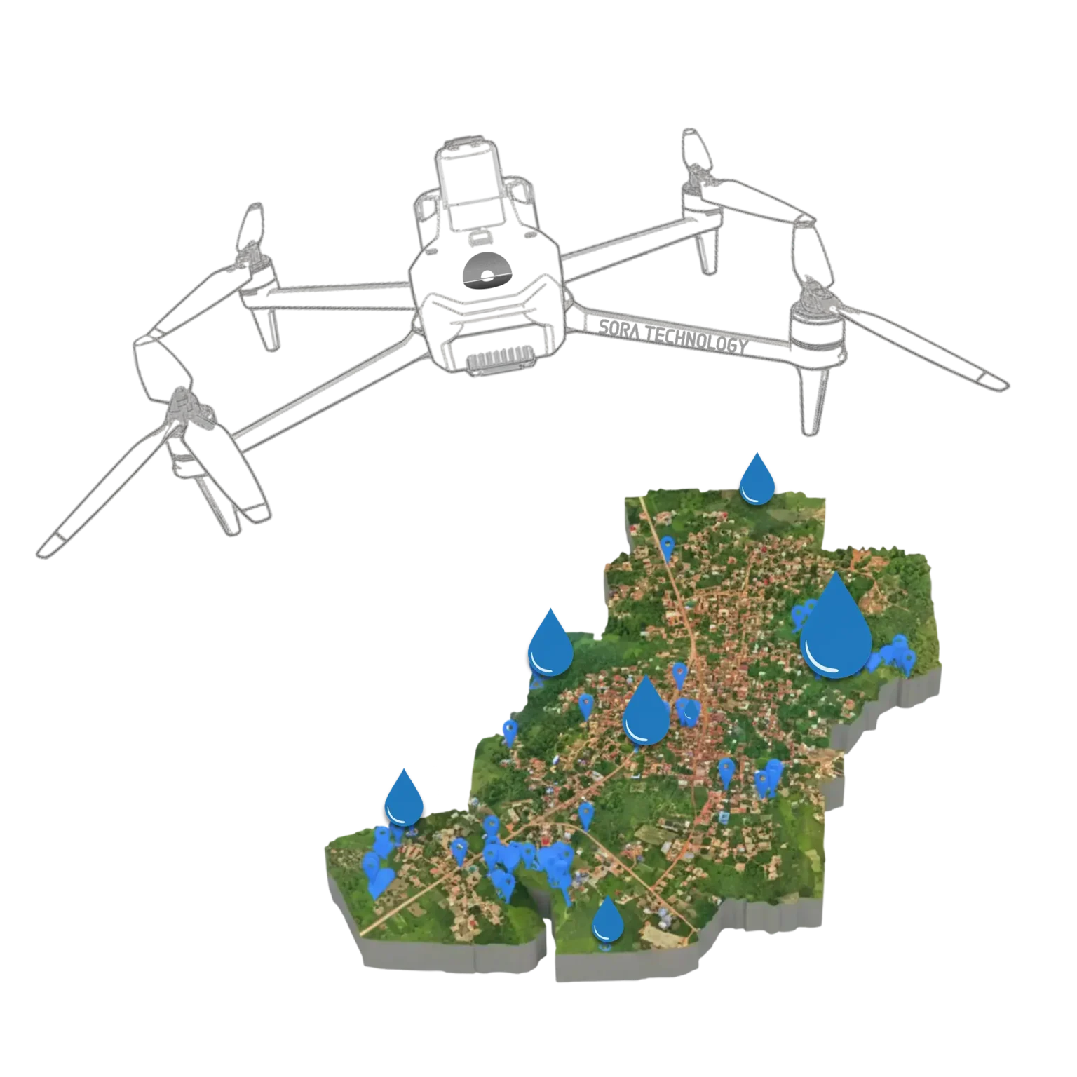
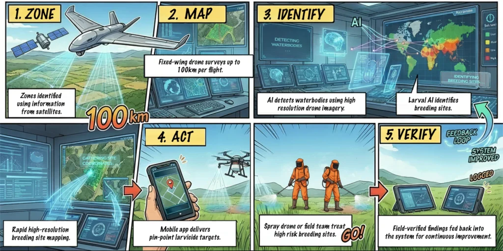
Our drones, AI, satellite and mobile technology work as one
system adaptable to multiple applications.
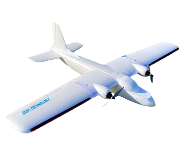
Fixed-wing Drone
- 60 mile coverage
- Aerial Surveys
- Wide-area reconnaissance
SORA’s fixed-wing drones are developed in-house and designed for large-scale aerial data collection. Their ability to cover wide areas efficiently makes them central to SORA’s malaria control operations and other intelligence services, enabling rapid, high-resolution imaging of landscapes to identify mosquito breeding sites that would be impossible to detect through manual surveys alone.
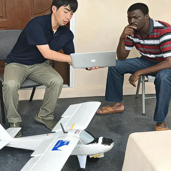
SORA is also developing inexpensive 3D-printed fixed-wing drones. These 3D-printed drones are particularly useful for educational purposes including working with drone trainees or aerospace engineering students. Any broken parts can be replaced easily, lowering the barriers of cost and maintenance.
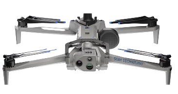
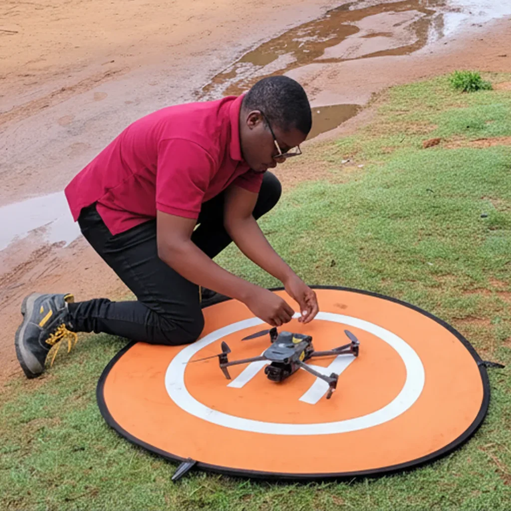
Mapping Drone
- High-res imagery
- Geospatial analysis
- Site ID
SORA uses drone-based mapping to produce rapid, high-resolution digital maps that form the foundation of its disease risk and other intelligence services. In the field, drone-based 3D surveying combined with AI enables detailed analysis of terrain, waterlogging risks, soil depressions, and land levelling requirements, supporting evidence-based decisions for both public health interventions and agricultural land preparation. Results from a peer-reviewed field evaluation in Ghana indicated that drone mapping identified, on average, over 3.5 times more breeding sites than manual scouting, while reducing the labor costs by approximately half. (Bokpin, et al 2026 https://doi.org/10.1371/journal.pone.0340690)
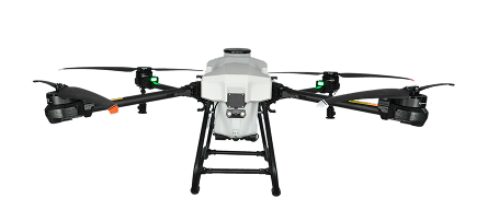
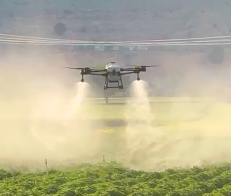
Aerial Spray Drone
- Precision delivery
- 70% less insecticide
- GPS guided
SORA Technology serves as the distribution partner in Africa for Exedy’s CT Series spraying drones, manufactured by Exedy in Japan, in cooperation with Baibars in Turkey. The drones feature a lightweight carbon fiber and aluminum alloy body with waterproof, dustproof, and chemical-resistant construction, designed for durability in harsh field environments. Combined with SORA’s AI-driven risk analysis, pinpoint spraying becomes possible, boosting efficiency and reducing chemical use. A 2-to-3-day training package is included as standard.
. 60 mile coverage
· Aerial Surveys
· Wide-area reconnaissance
. High-res imagery
· Geospatial analysis
· Site ID
. Precision delivery
· 70% less insecticide
· GPS guided
Integrated Data Acquisition
HIGH-RESOLUTION DRONE MAPPING
Detailed data
Site-specific
Ground truth
AERIAL PHOTOGRAPHY (Fixed-wing)
Wide coverage
Initial reconnaisance
Pattern ID
AI Powered Analysis
- Historical data patterns
- Real-time environmental conditions
- Geospatial analysis and mapping
- Risk assessment modeling
Precision Execution
- Turn-by-turn to sites
- Treatment tracking
- Real-time sync
- Field verification
AI Powered Analysis
- Historical data patterns
- Real-time environmental conditions
- Geospatial analysis and mapping
- Risk assessment modeling
Precision Execution
- Turn-by-turn to sites
- Treatment tracking
- Real-time sync
- Field verification